Wi-Fi signal radius generator/calculator?
Posted: Mon Oct 06, 2008 1:59 pm
I'm not quite sure how to pose this question; please bear with me.
I'm not new to wardriving, but I'm new to having a GPSr with me to do it. I have my work laptop (Dell D630 w/Dell 1395 wifi card) set up with Netstumbler connected via serial to a Magellan Sportrak Map. No problems with this setup so far.
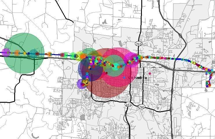
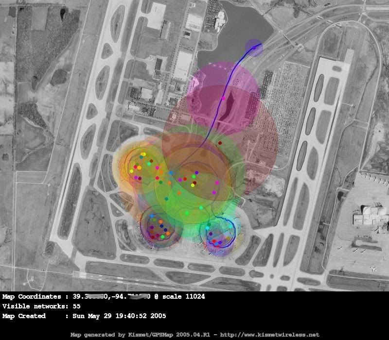
My question is this. Is there a program out there that will generate a transparent "signal radius" overlay for a map (google earth, google maps, anything)?
My thought is this. By using the co-ordinates where you first detect signal, and the co-ordinates where you last see a signal, you have a straight line - a chord on the circle. Use that distance to formulate a square with sides whose length is the distance between "signal found" and "signal lost." Using this square, generate a circle that touches the four corners of the square.
This circle would be roughly equivalent to the radius of the signal.
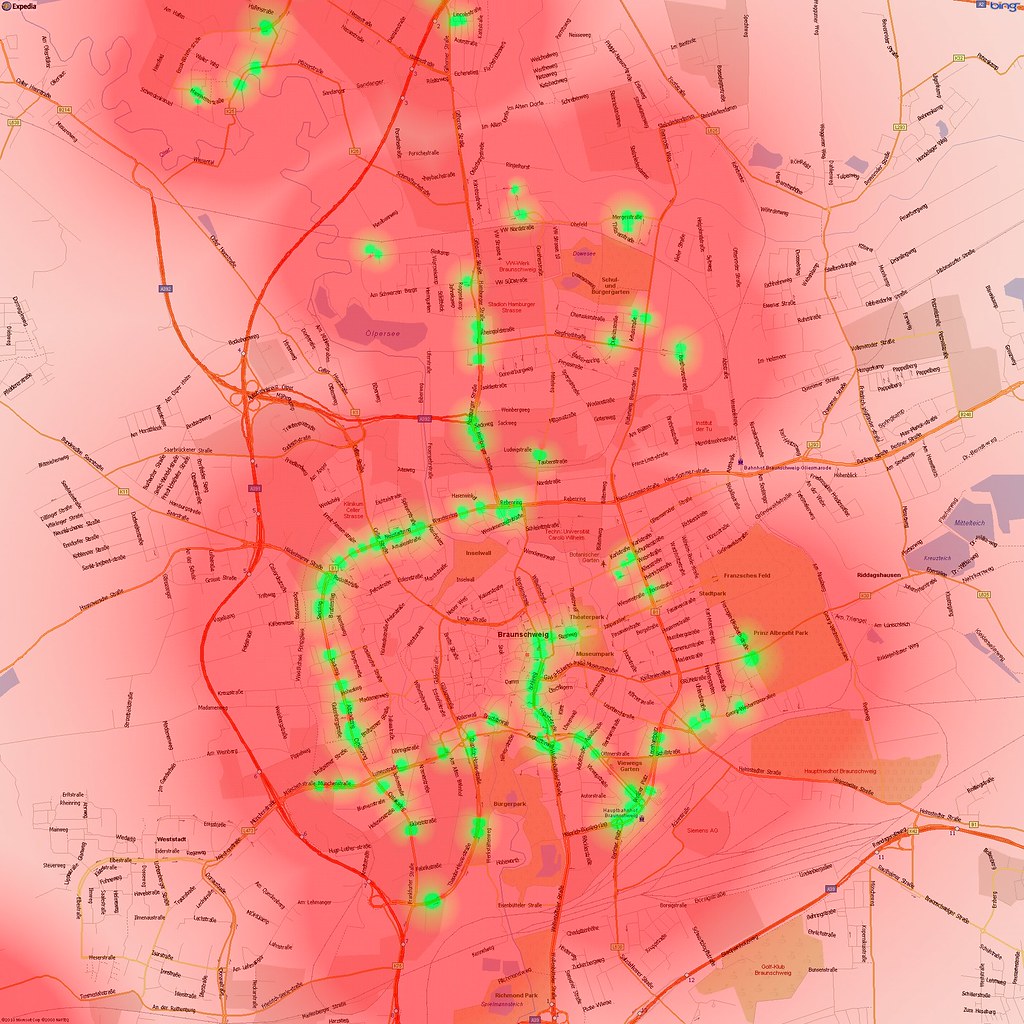
My goal with this is to take the data and overlay it as a transparency over a map just to see how "covered" my hometown is.
I'm a technician, not a programmer - I don't know how hard this would be to implement.


